Fact Check: Has Google Earth Captured Crimea Bridge Attack Damage?
Multiple attacks on the Kerch Strait Bridge connecting Crimea with Russia have caused problems for the Kremlin, compromising an important supply route for Russian forces fighting in Ukraine.
It was first attacked in October 2022, with a massive explosion destroying part of the highway, and was hit again in July 2023—Kyiv has since claimed responsibility for both strikes.
Now, the legacy of these attacks is allegedly being shared by Google. One social media post this week suggested satellite imagery from the aftermath of last year's explosion is now available via the internet giant's mapping software.
The Claim
A post by political commentator Glasnost Gone on X, formerly Twitter, on October 30, 2023, stated: "If you need to smile about something today, Google Earth now shows good quality images of #Ukraine's successful Oct 2022 strike on Russia's illegal #Crimea bridge. Hopefully soon, Ukraine will finish the job for good."
The post included what looked like a satellite image from Google Earth, showing destruction to a section of the Kerch Strait Bridge. The name "Maxar Technologies" appears at the bottom of the image.
The Facts
Initial searches on Google Maps and Google Earth via a web browser did not show damage to the Kerch Strait Bridge.
However, Google Earth Pro, a high-power desktop software version of Google Earth does show the damage from October 2022.
An image is available, taken on October 12, 2022, four days after the explosion. Just like in the image shared on X, Google Earth Pro's photos show a small section of the eastern side of the bridge collapsed into the water, with fire damage across both sides of the bridge. The east and west sides of the bridge are suspended on two separate platforms.
Newsweek contacted a media representative for Google via email for comment.
Asked about the image shared on X, Maxar Technologies told Newsweek it did not see "anything in that video clip that includes any of our satellite imagery". Newsweek has asked its media representative why its name appears at the bottom of the image on Google Earth Pro.
Maxar did, however, provide satellite imagery showing damage both from the explosion in October 2022 and the attack on the bridge on July 17, 2023.
The images it collected last year were captured on October 8, 2022, showing heavy damage with several rail cars on fire. The damage in these photos is consistent with the images on Google Earth.
Newsweek has asked Maxar for contemporaneous images of the bridge.
The U.K. Ministry of Defense said last month that while the Kerch Strait Bridge is fully operational, new procedures enacted since the attack in October 2022 have led to traffic restrictions, with trucks and fuel supplies continuing to be moved by ferry.
Although the bridge will remain a vital link in sustaining Russia's occupation of Crimea and its forces in southern Ukraine, the ministry said, it is now "almost certainly a significant security burden requiring multi-domain protection, including the use of air defence systems and crews who would otherwise be deployed elsewhere."
The Ruling
True.
A satellite image of the destruction caused to the Kerch Strait Bridge in October 2022 can be seen using Google Earth Pro. The image was captured four days after the explosion took place.
FACT CHECK BY Newsweek's Fact Check team
Disclaimer: The copyright of this article belongs to the original author. Reposting this article is solely for the purpose of information dissemination and does not constitute any investment advice. If there is any infringement, please contact us immediately. We will make corrections or deletions as necessary. Thank you.
Read More
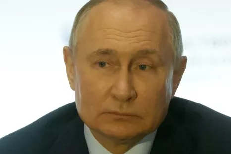
Putin Claims Western Weapons for Ukraine Have Been Sold to the Taliban
Russian President Vladimir Putin on Friday claimed without evidence that some Western weapons intend...
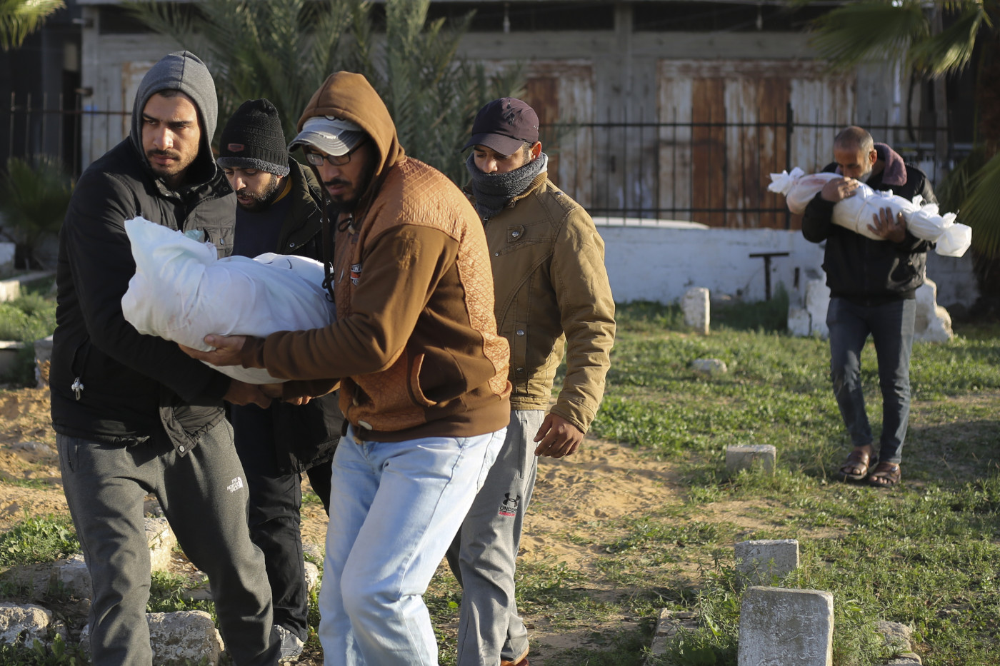
What’s the latest UN Gaza resolution that the US has agreed to?
After a week of diplomatic back and forth, the United States has signalled that it is ready to suppo...

Russians Who Rejoiced at Putin Death Rumors Will Be Punished: Ukraine Intel
Russian authorities have closely monitored the public reaction to fake reports of the death of Vladi...

Israel-Gaza war: Why are culture and society targets?
Since the beginning of Israel’s war on the Gaza Strip, numerous scientists, artists and journalists ...
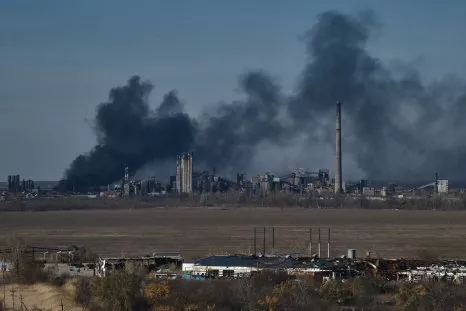
Russia Sees Staggering Jump in Losses in a Month, According to Kyiv Figures
A sharp spike in Russian troop losses has coincided with Moscow's offensive on the town of Avdiivka,...
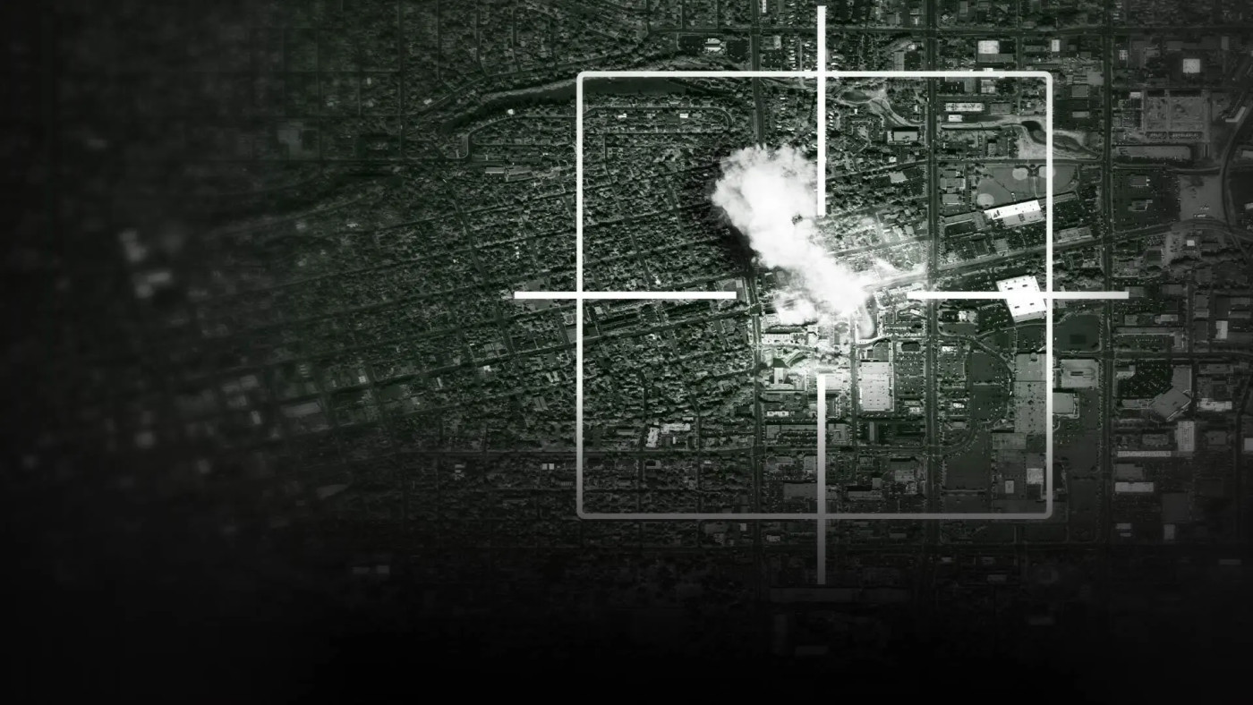
Israel’s AI-powered ‘mass assassination factory’
“A mass assassination factory” was the headline of the investigation by +972 magazine and Local Call...